|
The
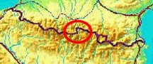
bordermarkers of the Pyrenees : all my trips
 |
|
| - 30 august
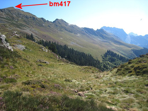
2011 - Bm417 finally found |
 |
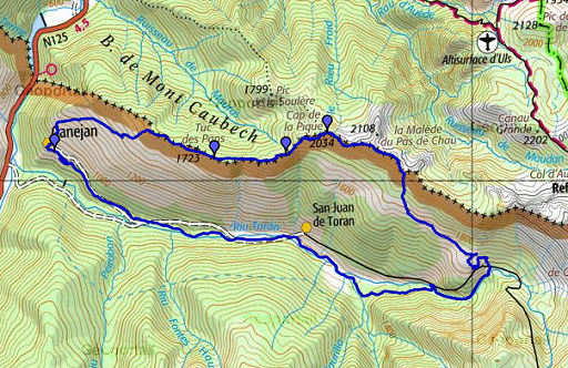 |
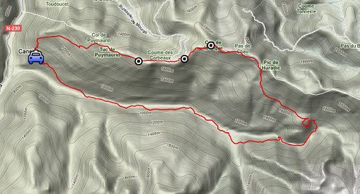
esfr-trip-track-20110830.kml (click to open this trip in Google Earth or copy link to Google Maps; click right on this link to download gpx-version) Summary: part of a 3-weeks trip to the Pyrénées to 'do' the ± 60 remaining bordermarkers. All done as daytrips from campings. Day 14: roundtrip from Canejan, one target: bm417 Weather: clear sky, warm |
 |
For
explanation of
the gps-coordinates and other cartographic backgrounds: see my cartography page According to the gps-tripteller: Distance: 22,9 km Cum. elevation gain: 1478m Total elevation: 2956m Maximum height: 2106m Time: 8.06h |
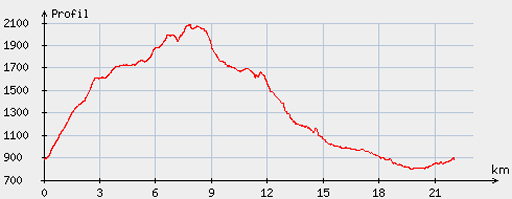 |
According
to visugpx - distance : 22,5km - cum. elevation gain : 1468m - cum. elevation loss : 1468m - total elevation: 2936m - altitude maxi : 2084m - altitude mini : 795m - altitude average : 1535m |
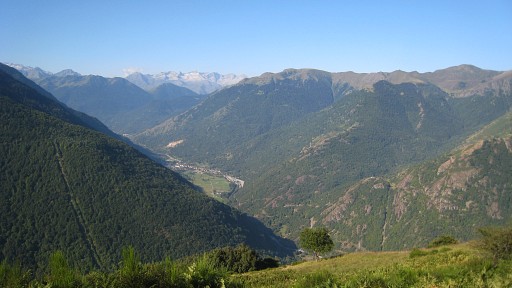 |
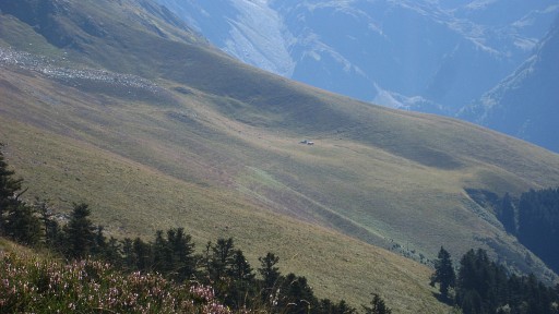
In the early morning I drove from Lourdes - where I enjoyed a day of leisure - to Canejan. Ascent of the borderridge as usual via that ancient steep path which starts behind the church. This picture: looking down the Spanish valley of the Garonne with |
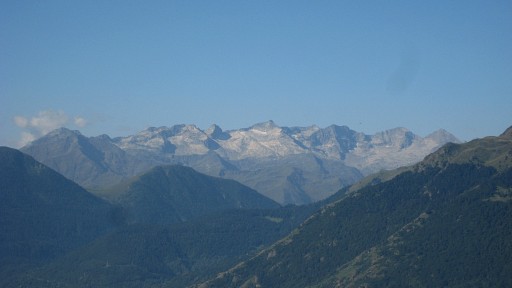 |
(zoom-in) the Aneto-massif far away. |
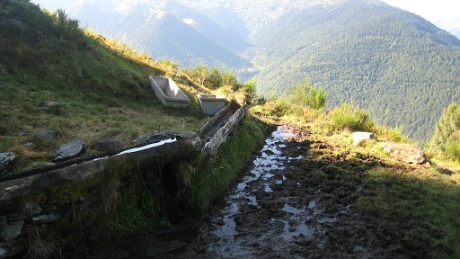 |
Having arrived at the cattle drinking point, I go through
the forest E until the other side. This time however I climb along the edge of the forest (staying in the forest) because the grass has been taken over by the fern. When the slope gets flatter (and grassier), it’s time to leave the forest and climb to the ridge. |
 |
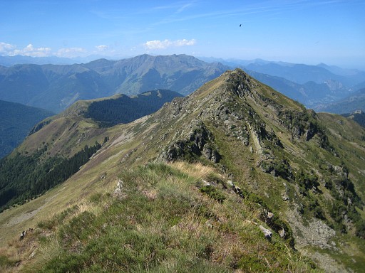
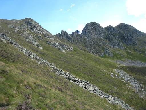
I follow the ridge to the right, a trail appears that passes underneath
(S) of the summit of Tuc de Pan and comes along bm415. |
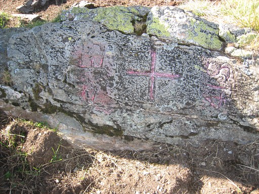 |
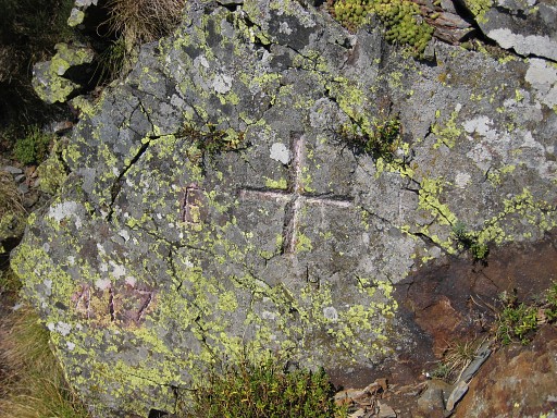
Bm415, the old cross. |
 |
Bm415, looking back. |
 |
If the trail biforks, take the trail closest to the ridge. |
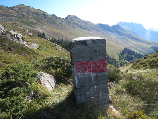 |
Then bm416, a bit off the trail. |
 |
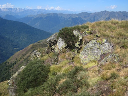
Bm416, cross |
 |
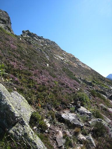
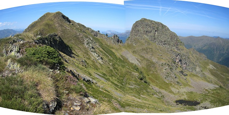
Arriving at Pas de la Portéule, there are 3 options to climb the Cap de la Pique: |
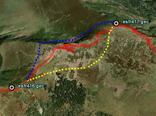 |
- blue line: via a curve on the French side - red line: climbing the ridge straight on from the Pas, which I did, giving some problems with rocky outcrops (PM: going through the brêche is no option, too steep on the other side) - yellow line: descending into Spain, following the slope untill you’re under the “Cap”, then climb to that summit My advise: the third option |
 . .I'm on my way. |
|
 |
And zooming in to the cabane La Trauès where I camped two nights in 2006. |
 |
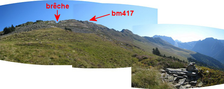
The brêche getting closer, there are some cairns. |
 |
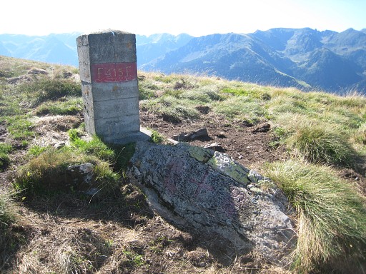
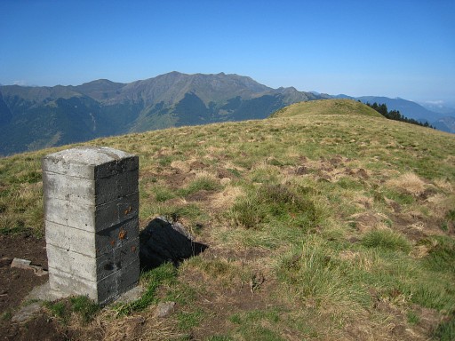
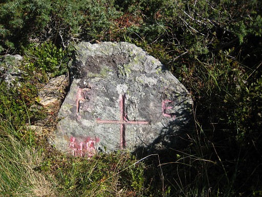
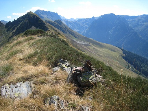
And finally (after several attempts over the years): bm417! |
 |
Bm417 |
 |
Bm417 |
 Bm417 |
|
 |
Bm417 |
 |
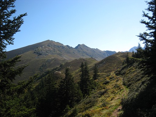
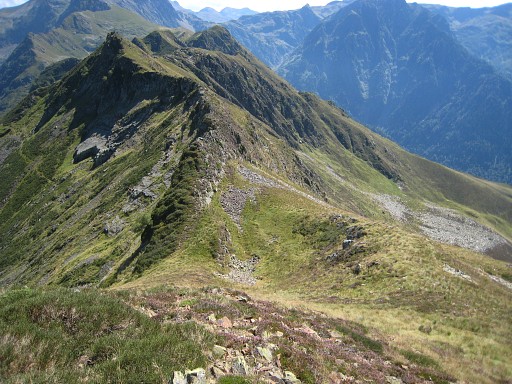
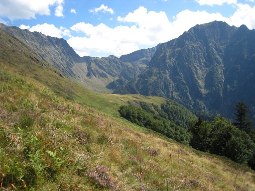
Then I follow the ridge eastwards, looking in vain for that mysterious
pillar, shepherd Roger told me about in 2006. Sometimes I need to descend and climb to the ridge again when the ridge gets too sharp. |
 |
Looking back at Cap de la Pique. |
 |
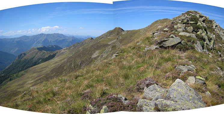
And looking forward to a
bassin-like part of the ridge. Shepherd Roger described such a bassin
as the spot of that mysterious borderpillar. But there's none here. |
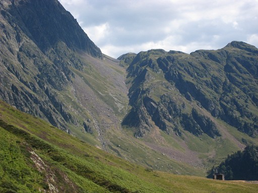
 Looking back at the ridge with this remarkable pass (on a ridge perpendicular to the borderridge), the Pas de Chau |
|
 And a bit further, looking back. This must be close to Pic de Huradic and closer to the point where I will descend. |
|
 |
There I give up - the ridge becoming too sharp - and I descend, still puzzled by Roger’s story. After that sharp part, there's the point from where I checked the ridge eastwards in 2006. That's where a lonely tree stands at the ridge, a landmark at that time. |
 |
This picture: I continue in the direction of the cabin “Le Plan”. There’s hardly a trail. |
 |
(zoom-in) You can spot the
peculiar ridge ahead which gives - on Google Earth - a direct access to Port de Hourqueta with bm418 & 419. Later this, the warden of the Refuge dera Honderia will confirm that. He tells me that it’s quite a stoney/rocky ascent but possible. |
 |
A few hundred meters NE of the cabin, there’s this old derelict
construction, part of the once “Telėfirico” to Minas de Liat. From there you should (GRPdesBF-route) traverse along the hillside (first E, then SE) to the path in the valley. |
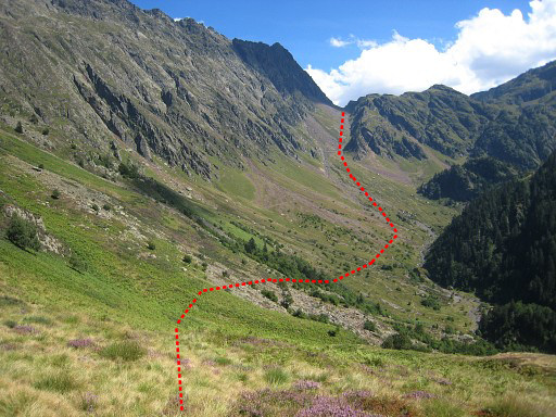 |
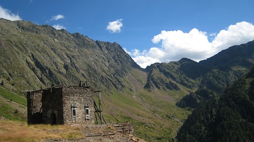
A view of the valley with my suggestion for the route to Port de Hourqueta. The more obvious route to the Port is a waymarked trail. See hereunder. From the cabin, I can’t find a trail going down (though I used one in 2006). So I just descend down the wooded hillside, seeking my own way. Once arrived at the path, I follow it downwards to the barrage and further on to the Refugio dera Honderia |
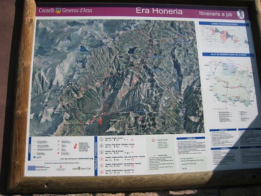 |
Against the Refugio this information panel |
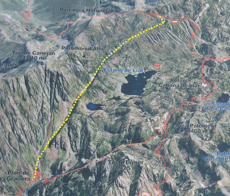 with this part enlarged. Added by me: the yellow dotted line, my proposed shortcut to Port de Hourqueata. |
|
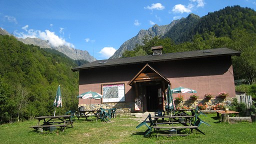 |
The Refugio. After a cup of coffee and
a chat with the warden, I return along the road (partly running) to
Canejan. My basecamp for the next two days will be the camping municipal in Fos. |