|
The
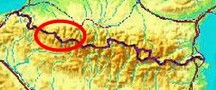
bordermarkers of the Pyrenees : all my trips
 |
|
| -
friday 10 september
2021 - Reconnaissance of an alternative route to bm271 |
 |
 |
Summary:
part of a series of 11 daytrips in september 2021 in the western half
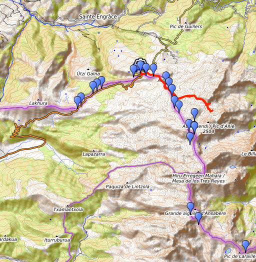
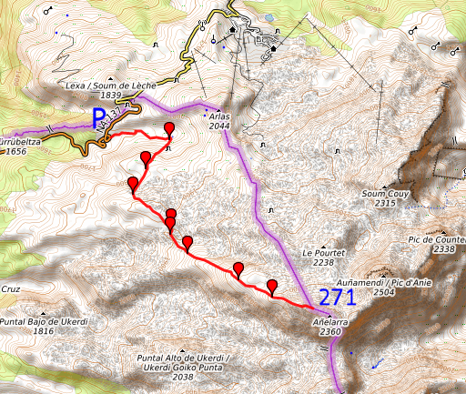
of the Pyrenees. This is day 3. Today: from Col de la Pierre St-Martin a rconnaissance of the route to Col des Anies. Col des Anies is both a gateway out of the karst platea and an in between for an alternative route to bm271. Weather: cloudy, sometimes sunny Basecamp: camping in Arette |
 |
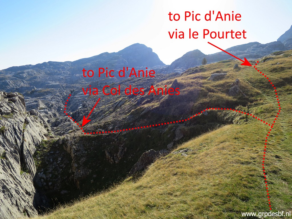
Why I am doing this reconnaissance today? (click map to enlarge) It's part of an investigation of the different routes to bm271. On 5-9-2020 the route via Le Pourtet proved to be tough and long The route via Col des Anies is longer but possibly faster because of easier trails. I will try that today. The route from parking de la Contienda promises to be the best. I will try that one next week on 19-9-2021. |
 track-20210910.kml
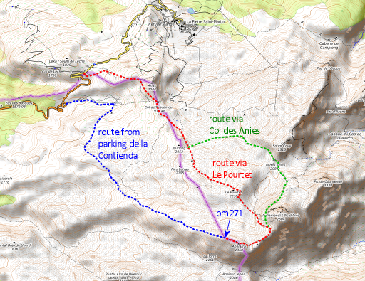
(click to open this trip in Google Earth or copy link to Google Maps; click right on this link to download gpx-version). The gps-track has not been manually corrected which explains the inaccuracy and misalignment at some points. For cartographic backgrounds: see the cartography-page Gps-waypoints of all bordermarkers (most recent version): kml: esfr-bordermarkers-all-waypoints.kml gpx: esfr-bordermarkers-all-waypoints.gpx (with elevation added by gpsvisualizer.com) |
|
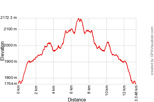 |
According to Garmin
Basecamp (uncorrected track with elevation added by Gpsvisualizer.com): Distance: 13,3km Max-height: 2172m Min-height: 1764m Elevation: +961m -962m Total elevation: 1923m Start 8:37 Finish 14:56 Total time: 6:20 |
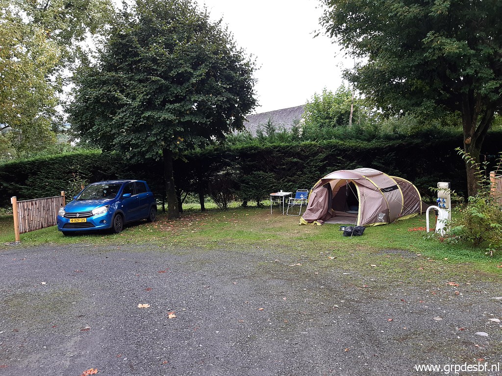 | Camping Arette where I arrived yesterday. (click photo to enlarge) |
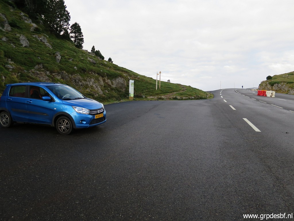 | In the early morning driving to Col de la Pierre St-Martin with (click photo to enlarge) |
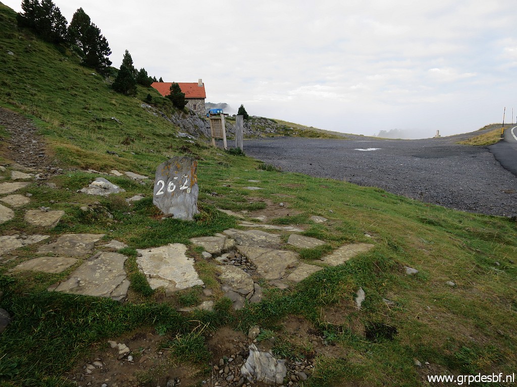 | bm262. Probably the bordermarker I have photographed the most throughout the years. (click photo to enlarge) |
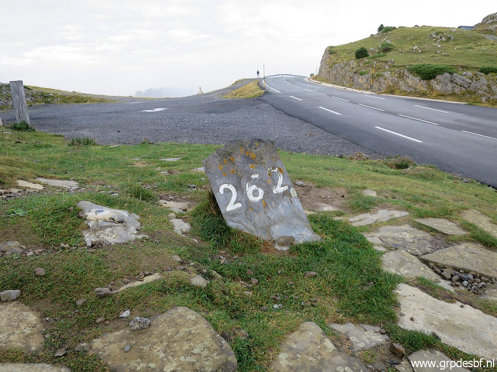 | Bm262 (click photo to enlarge) |
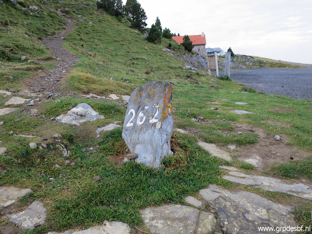 | Bm262 In the background a trail. That's the trail - yellow waymarked - which will bring you to Pic d'Anie. (click photo to enlarge) |
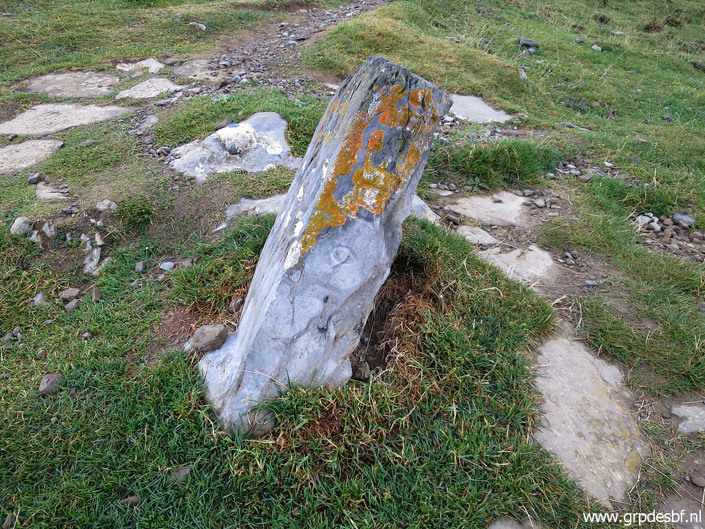 | Bm262 (click photo to enlarge) |
 | Bm262 (click photo to enlarge) |
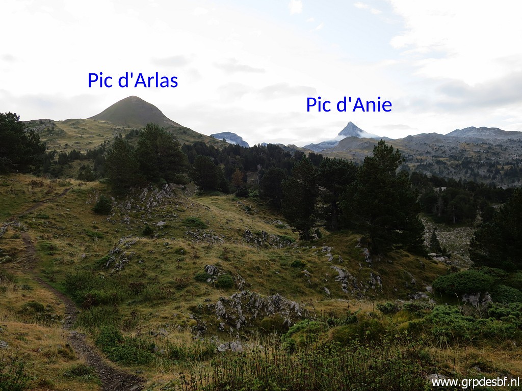 | Around 8:45 I pick up the yellow trail which starts close to bm262. First crossing a grassy terrain with a view to Pic d'Arlas and Pic d'Anie. (click photo to enlarge) |
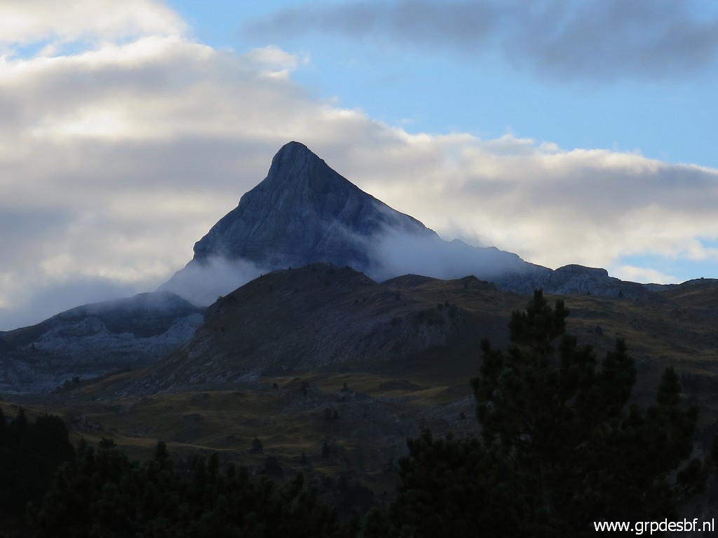 | Zoom-in to Pic d'Anie. (click photo to enlarge) |
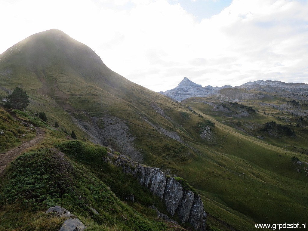 | Geting closer to Pic d'Arlas. (click photo to enlarge) |
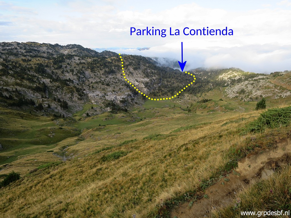 | From the trail a view to the SW. A route from Parking La Contienda arrives at a field and then bends to climb the rocky terrain to continue to bm271. (click photo to enlarge) |
 |
That is to say: on the maps (OSM and TopoPirineos). I will try that route on 19-9-2021. |
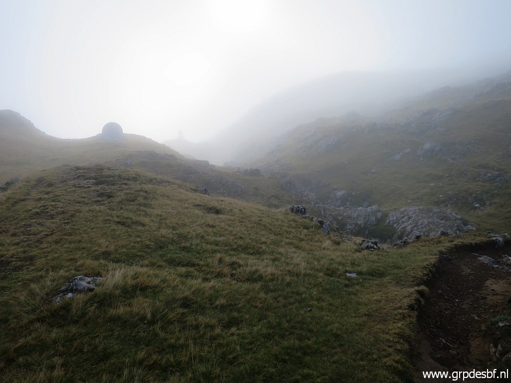 | I continue in hazy/foggy weather (click photo to enlarge) |
 | A waysign in between, (click photo to enlarge) |
 | I have to continue in the direction of Pic d'Anie. (click photo to enlarge) |
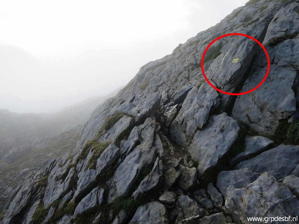 | Then I'm getting a bit confused: there seems a new route - yellow waymarked - over the rocks. (click photo to enlarge) |
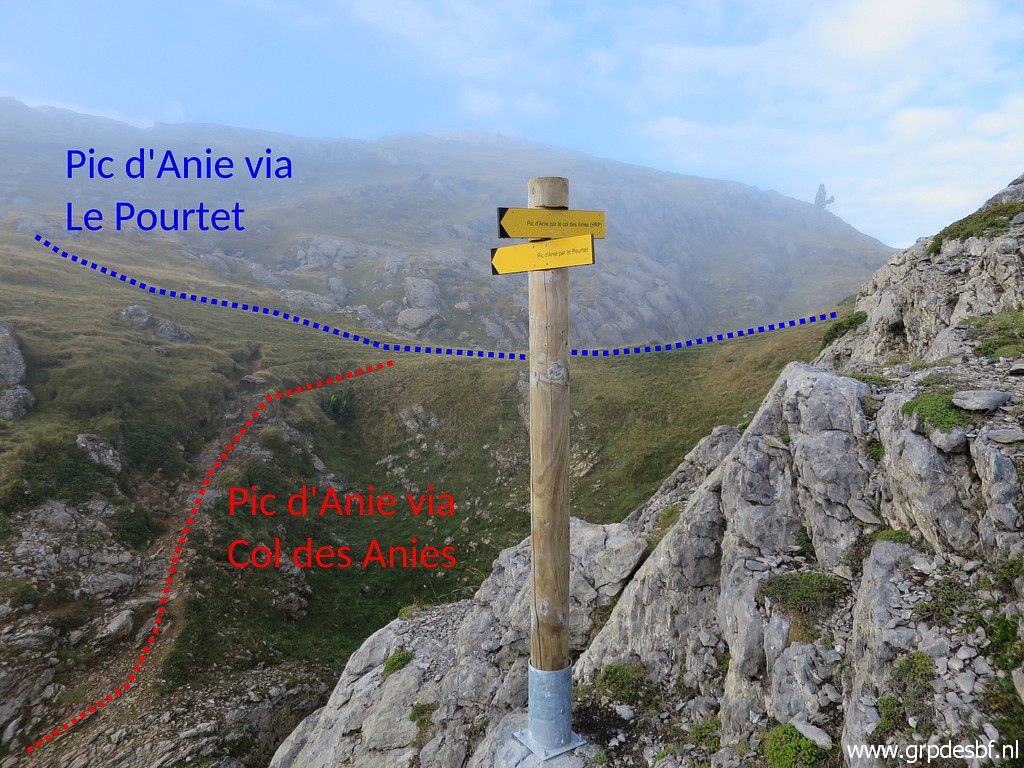 |
It brings me to this signpost. It took me ± 1:15h to get here. In the background the bifork as it used to be (and still can be used as such) of the 2 routes to Pic d'Anie. |
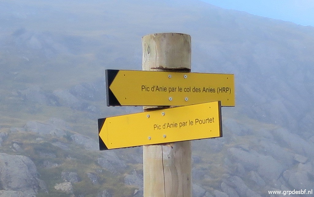 | Zoom-in Left is to the Col des Anies and that is the HRP-route. That is the one I will try today (yellow waymarked). (click photo to enlarge) |
 | Now looking at the signpost from the old bifork. (click photo to enlarge) |
 | Zoom-in (click photo to enlarge) |
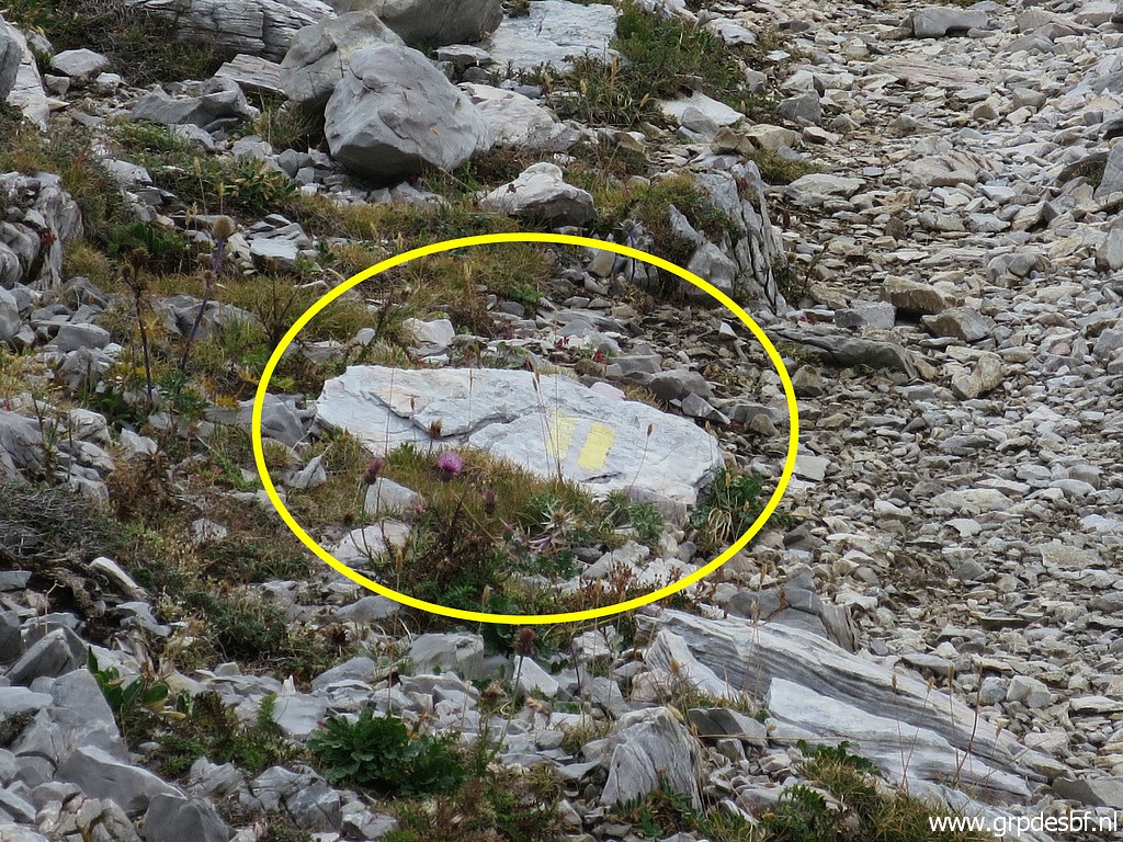
 | to the yellow waymarks. I don't understand well why they changed the route at this point. (click photo to enlarge) |
 |
As a comparison, this picture of the old bifork taken on my trip on 5-9-2020 with Carlos & Conchita Roca. |
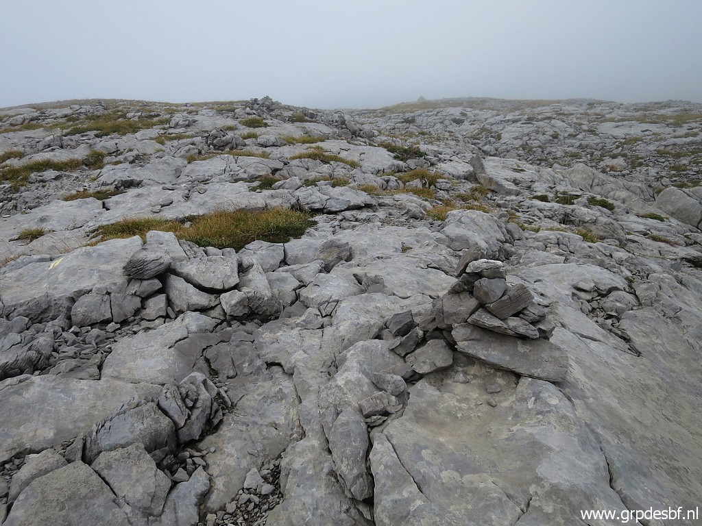
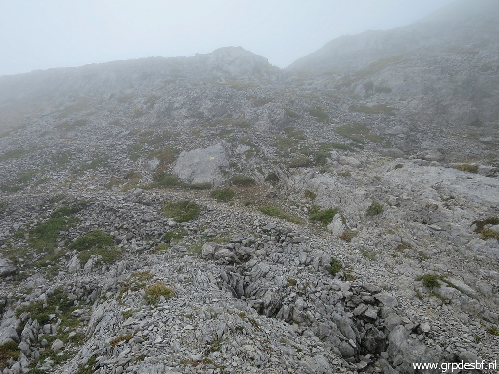
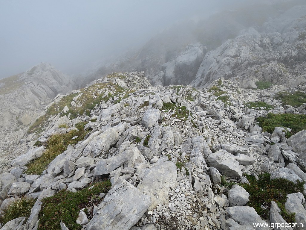
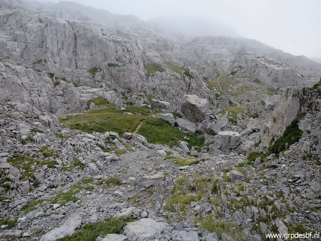
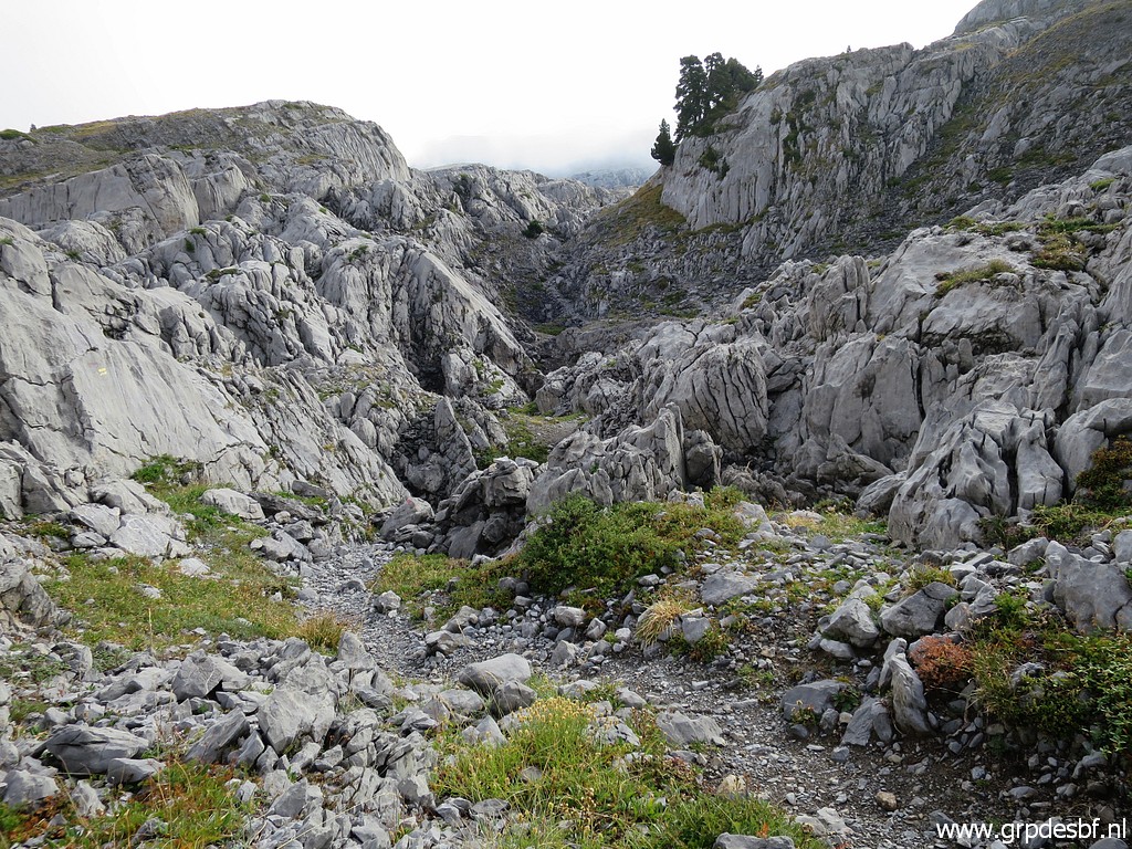 | Back to today: I enter the crevasses of the karst plateau (click photo to enlarge) |
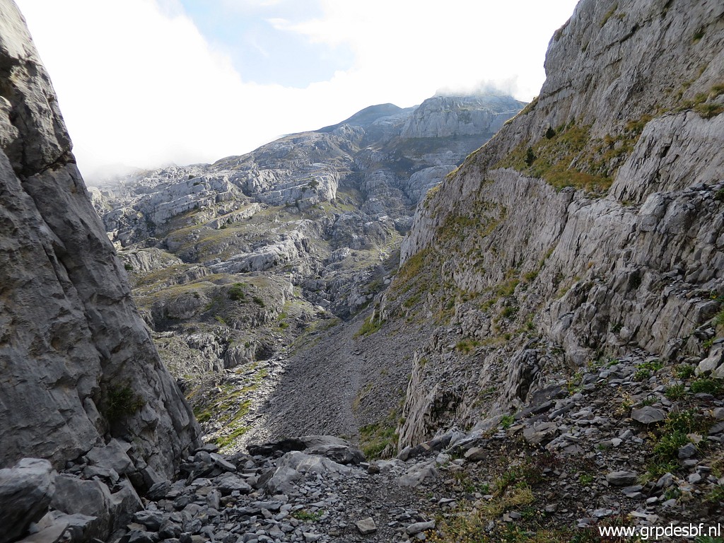 | on an ondulating but well trodden path. Progress is fast, faster than on the route via Le Pourtet. (click photo to enlarge) |
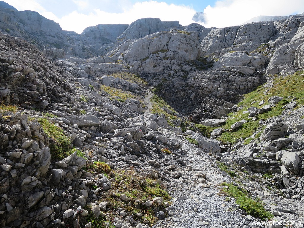 | Later on it arrives at (click photo to enlarge) |
 | more open terrain. (click photo to enlarge) |
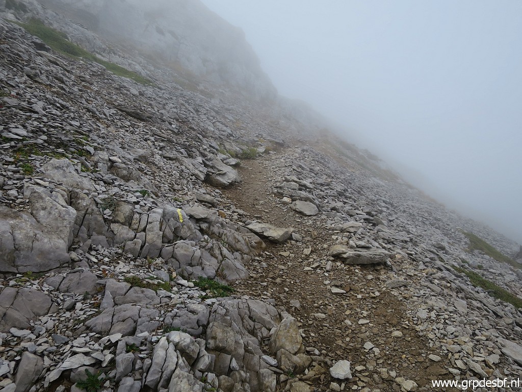
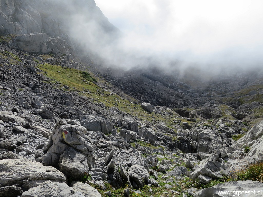 | Sometimes patches of clouds drift in, (click photo to enlarge) |
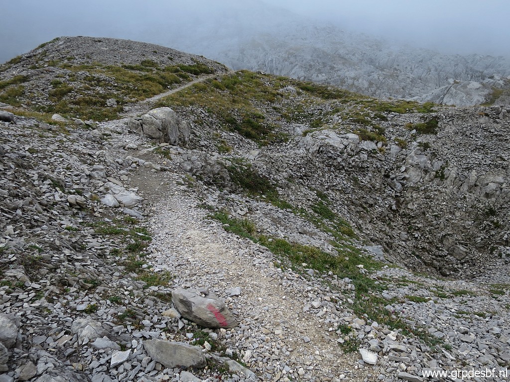
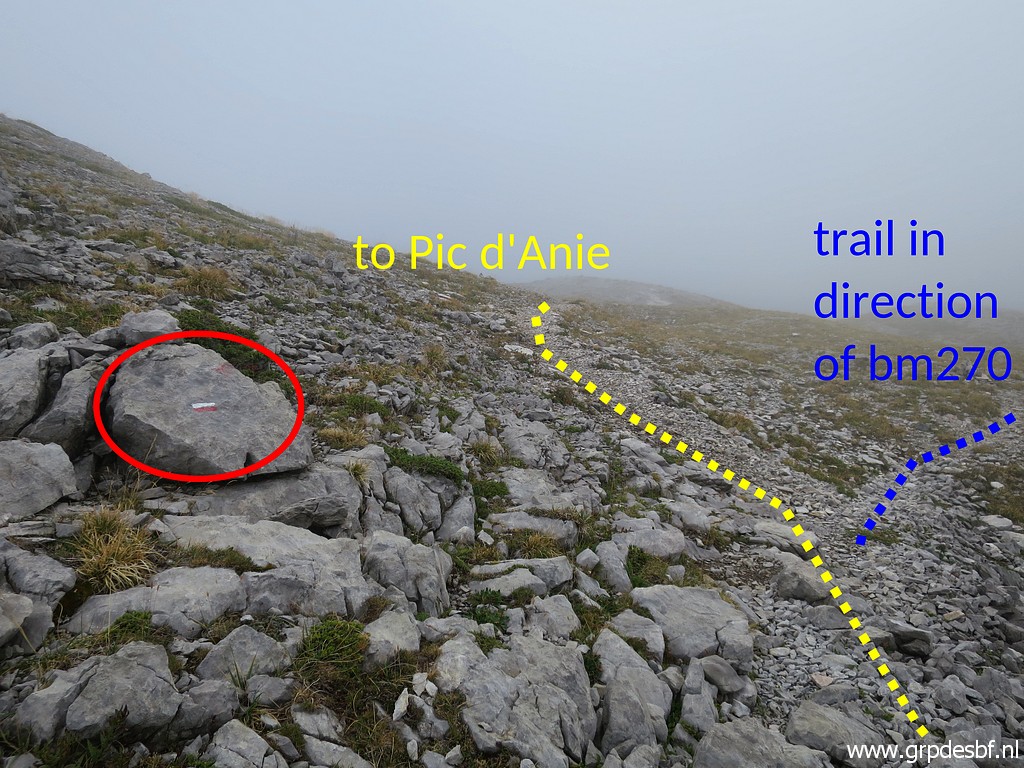 | turning into foggy spells. For the first time I notice a red-white waymark. I check the trail to ± bm270 for a while. I walked that one on 8-9-2010 and on 29-8-2012. In fact it is also an alternative access route to Pic d'Anie. (click photo to enlarge) But in fact I'm looking in vain for a small monument. It must be further along the trail. |
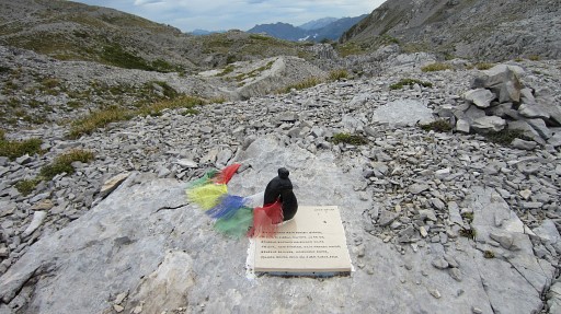 |
On 29-8-2012 I saw along this trail this sad monument. The little statue represents a couple embracing each other. Jon Álvarez Suárez and Naiara Larrinaga Velasco - a Spanish couple of 37 and 40 years - died here on 11 july 2011. Only dressed in shorts and T-shirt, they were surprised by bad weather, merciless on this altitude and terrain when you're not prepared. |
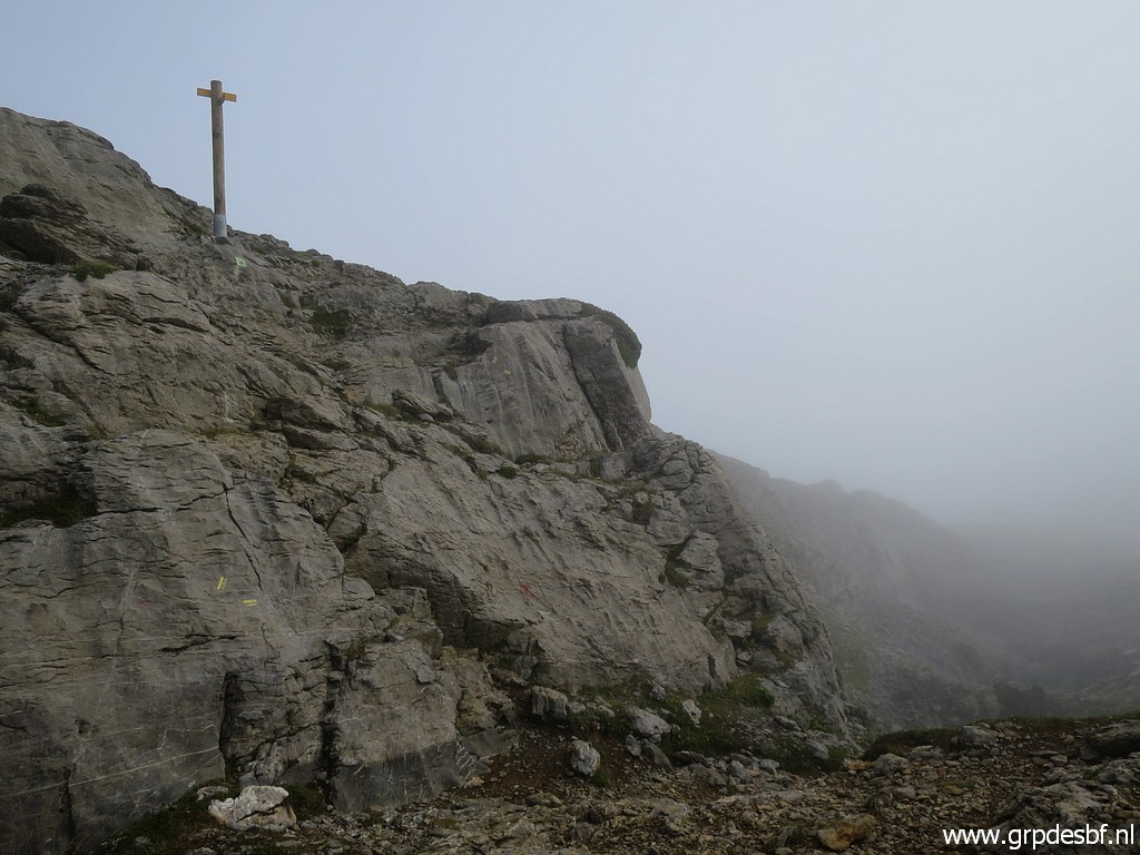
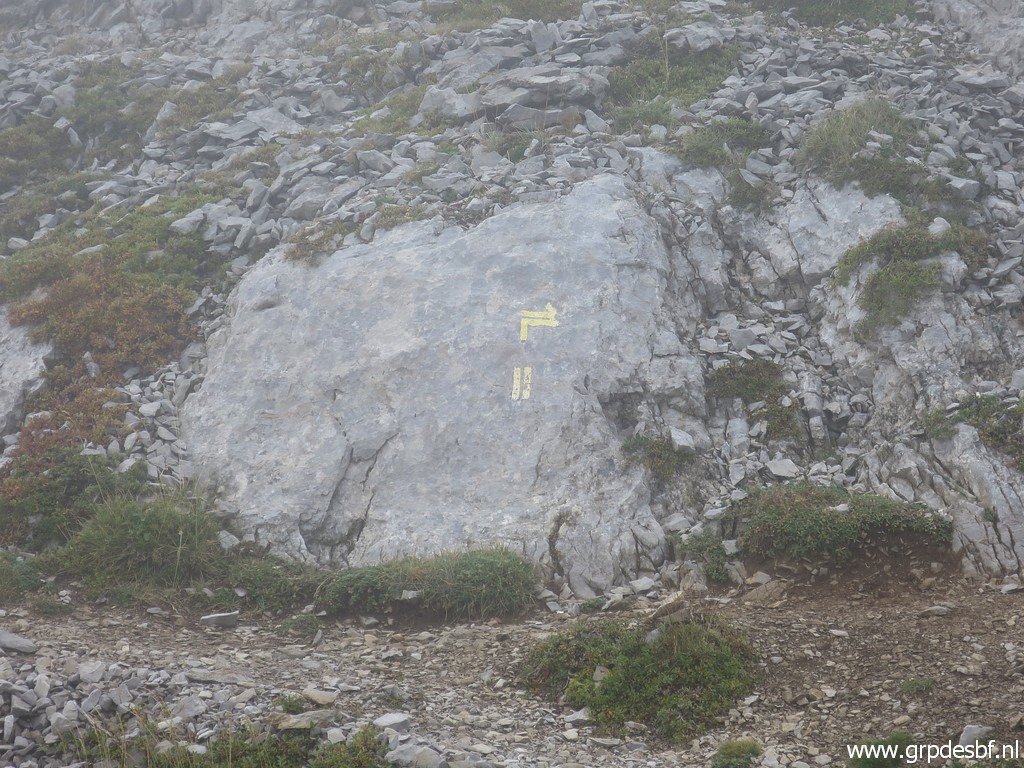
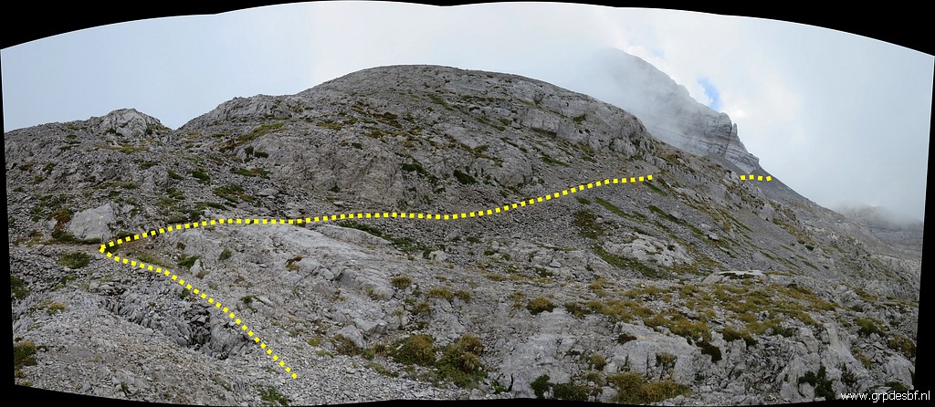
 | Back to the main trail: it brings you to this point: a red-white waymark and a yellow cross. We are more or less at Col des Anies now, there is no distinct pass discernable in this terrain. I took ± 1h to get here from the bifork. The red-white trail descends further into the valley to Cabane du Cap de la Baitch. (click photo to enlarge) |
 | But the yellow route continues to Pic d'Anie. (click photo to enlarge) |
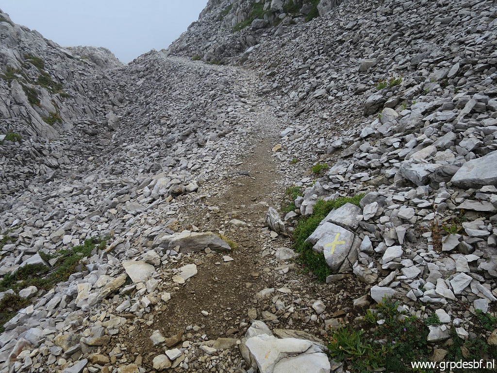
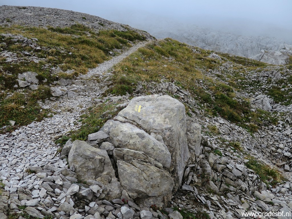 | Yellow waymarks (click photo to enlarge) |
 | and cairns guide (click photo to enlarge) |
 | you to this (click photo to enlarge) |
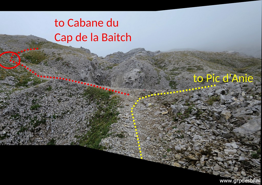
 | T-junction. To the right is (click photo to enlarge) |
 | to Pic d'Anie on a distinct trail. (click photo to enlarge) |
 | But from the T-junction there is also path going left, in the opposite direction. Note the yellow cross on the rock. (click photo to enlarge) |
 | On the maps that's a another route downhill towards Cabane du Cap de la Baitch. But it soon gets rocky without a clear track or waymarking. So I prefer the earlier mentioned red-white descent from Col des Anies. (click photo to enlarge) |
 | Back at the T-junction and looking in the direction of Pic d'Anie. (click photo to enlarge) |
 | I return and look back. You can see the T-junction and how the trail continues along the hillside towards Pic d'Anie. (click photo to enlarge) |
 | Now back at (approximately Col des Anies) with the bifork better shown. (click photo to enlarge) |
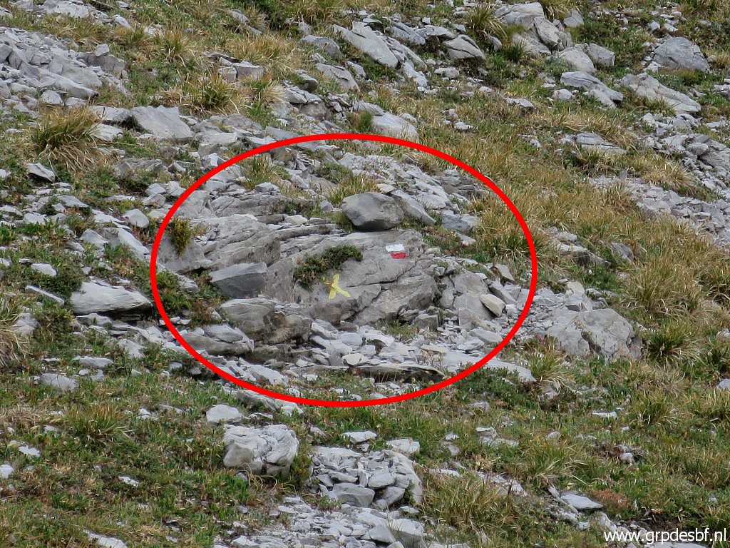 | Zoom-in to the red-white waymark and the yellow cross. (click photo to enlarge) |
 | And further back at the first bifork cq T-junction. (click photo to enlarge) |
 | Zoom-in to the yellow waymarks. (click photo to enlarge) |
 | The trail brings (click photo to enlarge) |
 | me back (click photo to enlarge) |
 | to the very first bifork with the new signpost. (click photo to enlarge) |
 | Returning and going underneath the rocky hill of bm267. (click photo to enlarge) |
 | This is at the foot of Pic d'Arlas where the trail passes. A source with the name Fuente de la Contienda and which is the only water source on the vast karst-plateua. (click photo to enlarge) |
 | Back at the car, returning to the camping in Arette. (click photo to enlarge) |