|
The
bordermarkers of the Pyrenees : all my trips
 |
|
| -
saturday 2 september
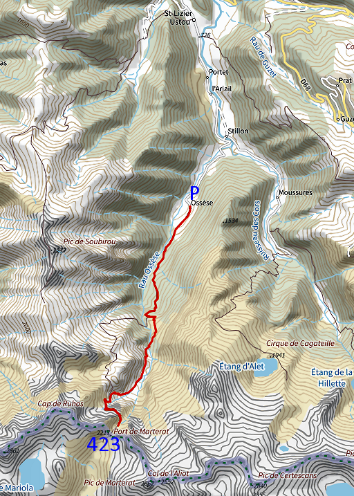
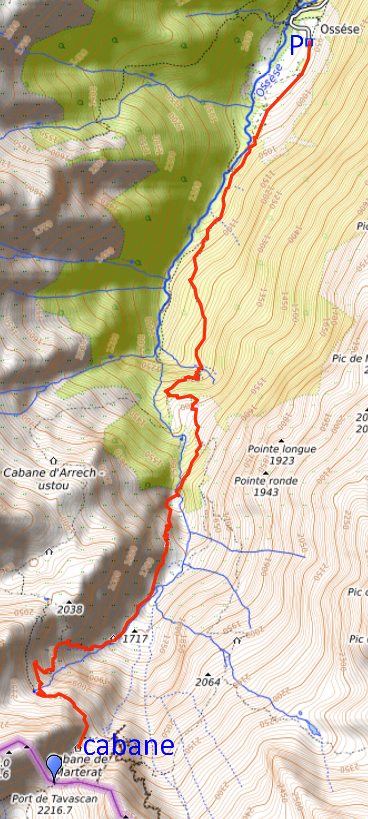
2023 - Descent from Cabane de Marterat to Ossèse |
 |
 |
Summary:
part of a series of 9 daytrips in september 2023. This is day 2. Today: descending back to my car from Cabane de Marterat. Yesterday I did bm423 at Port de Tavascan. Weather: overcast |
 track-20230902.gpx
This gpx-track has not been manually corrected which explains the inaccuracy and misalignment at some points. The original elevation recording has been replaced by more accurate DEM-data with Gpsvisualizer.com. For cartographic backgrounds: see the cartography-page Gps-waypoints of all bordermarkers (most recent version): kml: esfr-bordermarkers-all-waypoints.kml gpx: esfr-bordermarkers-all-waypoints.gpx (with reliable elevation data added by gpsvisualizer.com) |
|
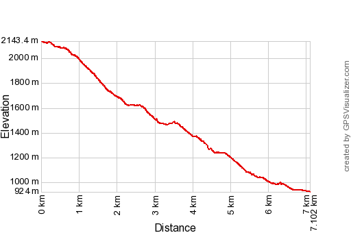 |
According to Garmin
Basecamp (uncorrected track with elevation added by Gpsvisualizer.com): Distance: 7,1 km Max-height: 2143m Min-height: 924m Elevation: +90m -1309m Total elevation: 1399m Start 8:23 Finish 12:01 Total time: 3:37 |
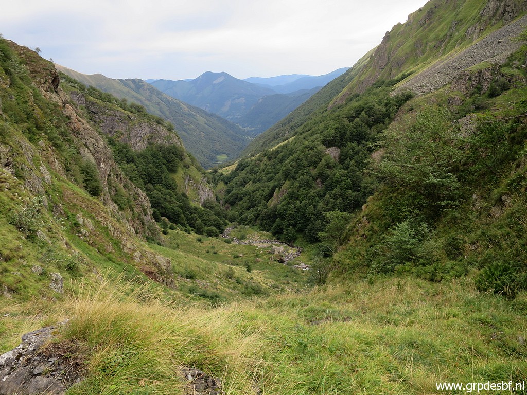
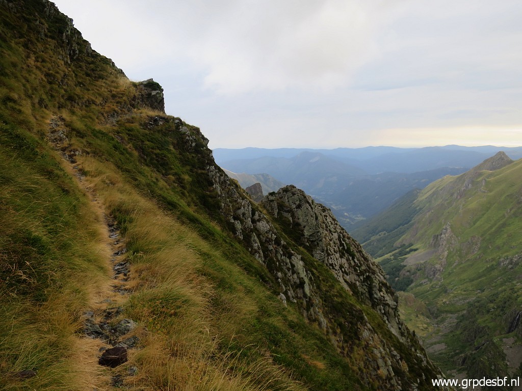 | The first part of the descent from the cabane. Steep terrain here. (click photo to enlarge) |
 | Approaching the stream to cross. I am still tired of the strenuous climb of yesterday. (click photo to enlarge) |
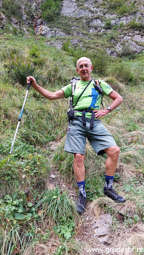 | Later on, another walker is so kind to take this picture. (click photo to enlarge) |
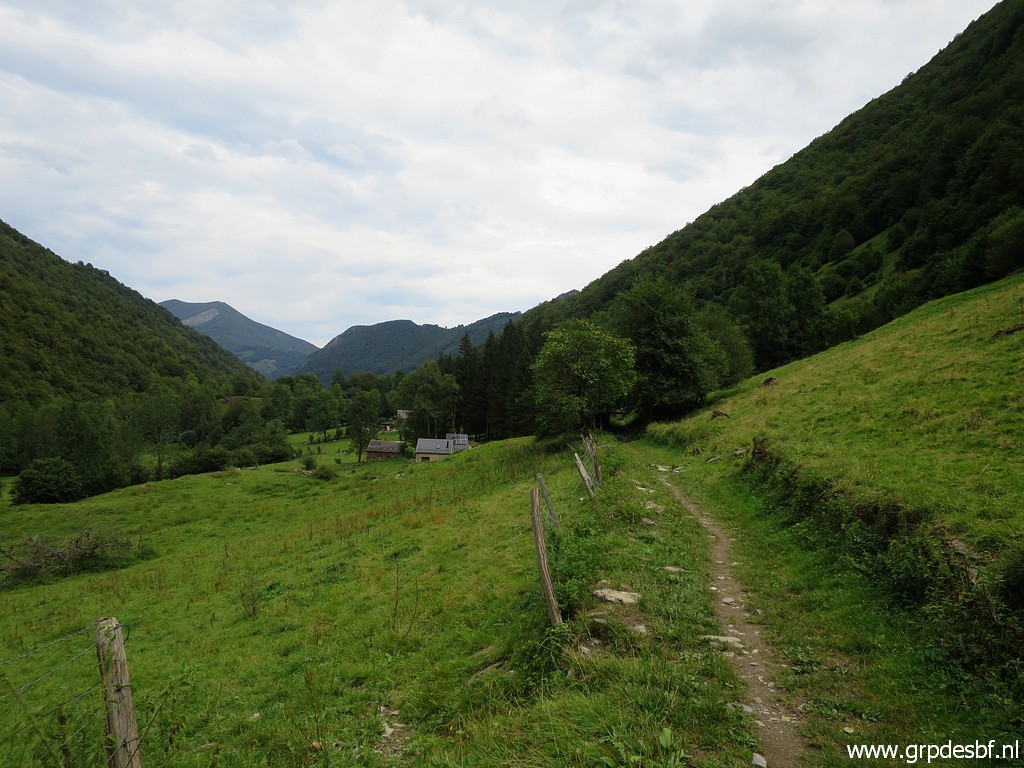 | Back on lower grounds, the hamlet of Ossèse already in sight. (click photo to enlarge) |
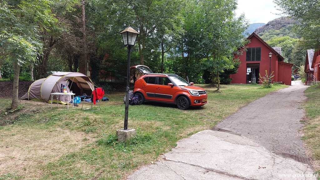 | I drive - via a Decathlon to buy a new airmatress - to camping Espalias in Bossóst, I have been here many times before. (click photo to enlarge) |