|
The
bordermarkers of the Pyrenees : all markers
 |
|
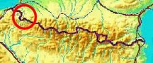
| Bordermarkers 184-196 |
 |
| Notice The pages of the day-trips may give additional information on coordinates, localisation, surroundings and access. They also show (additional) maps. Click on the date-links in the right column. |
|
 |
Bm184, but apparently without a number on it. Photographed on 20090527 (more pictures on that page) |
 |
Bm184 Photographed on 13 april 2022 (more pictures on that page) (click photo to enlarge) |
 |
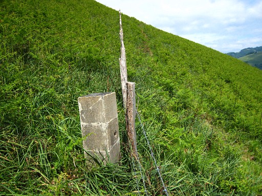
Bm185 Photographed on 20090527 (more pictures on that page) |
 |
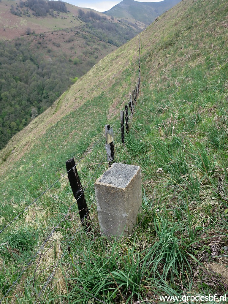
Bm185 Photographed on 13 april 2022 (more pictures on that page) (click photo to enlarge) |
 |
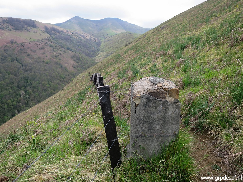
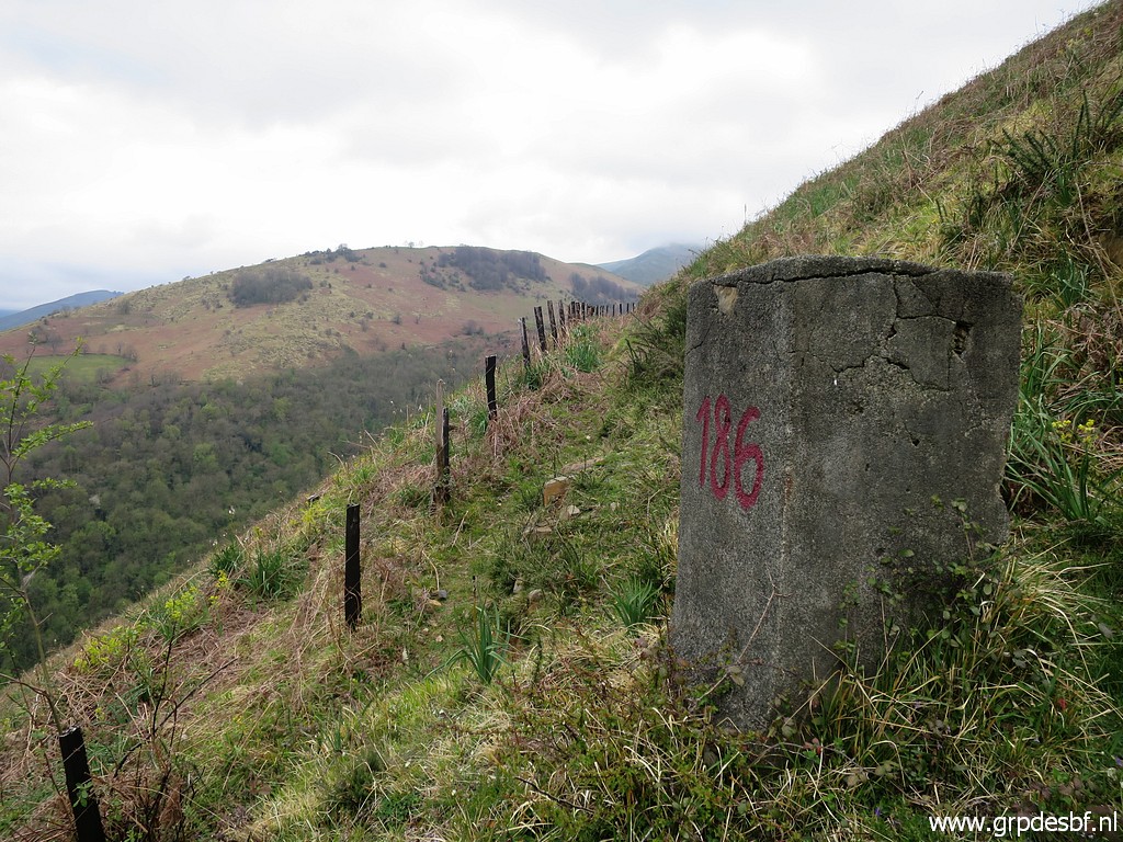
Bm186, apparently the original number has weathered/faded away. This is my own with chalk. Photographed on 20090527 |
 |
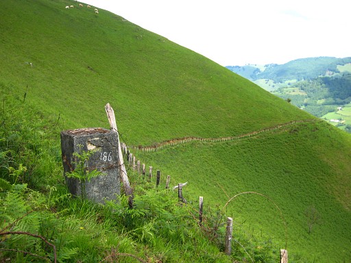
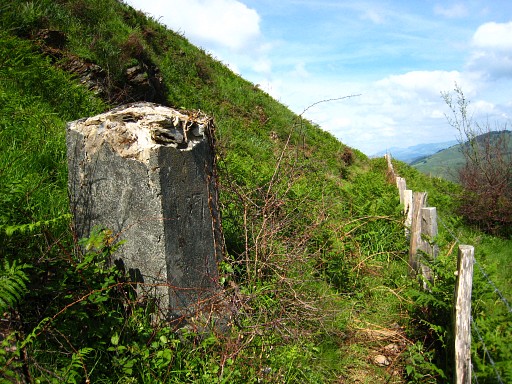
Bm186 Photographed on 14 april 2022 (more pictures on that page) (click photo to enlarge) |
 |
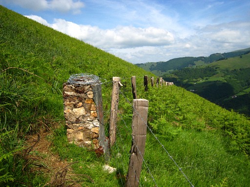
Bm187 Photographed on 20090527 |
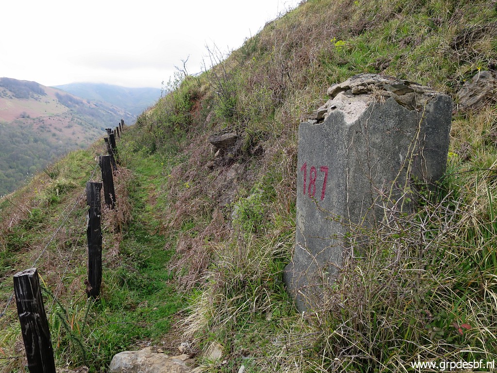 |
Bm187 Photographed on 14 april 2022 (more pictures on that page) (click photo to enlarge) |
 |
Bm188 Photographed on 20090527 (more pictures on that page) |
 |
Bm188 Photographed on 14 april 2022 (more pictures on that page) (click photo to enlarge) |
 |
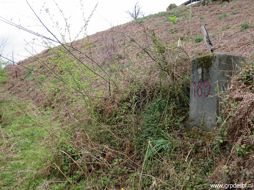
Bm189 Photographed on 20090527 (more pictures on that page) |
 |
Bm189 Photographed on 14 april 2022 (more pictures on that page) (click photo to enlarge) |
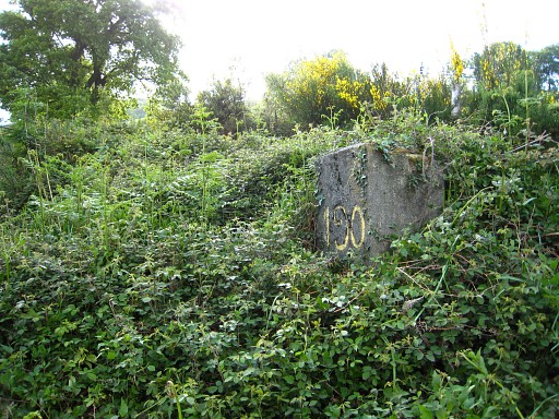 |
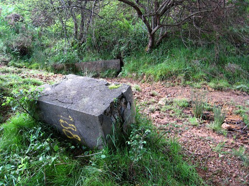
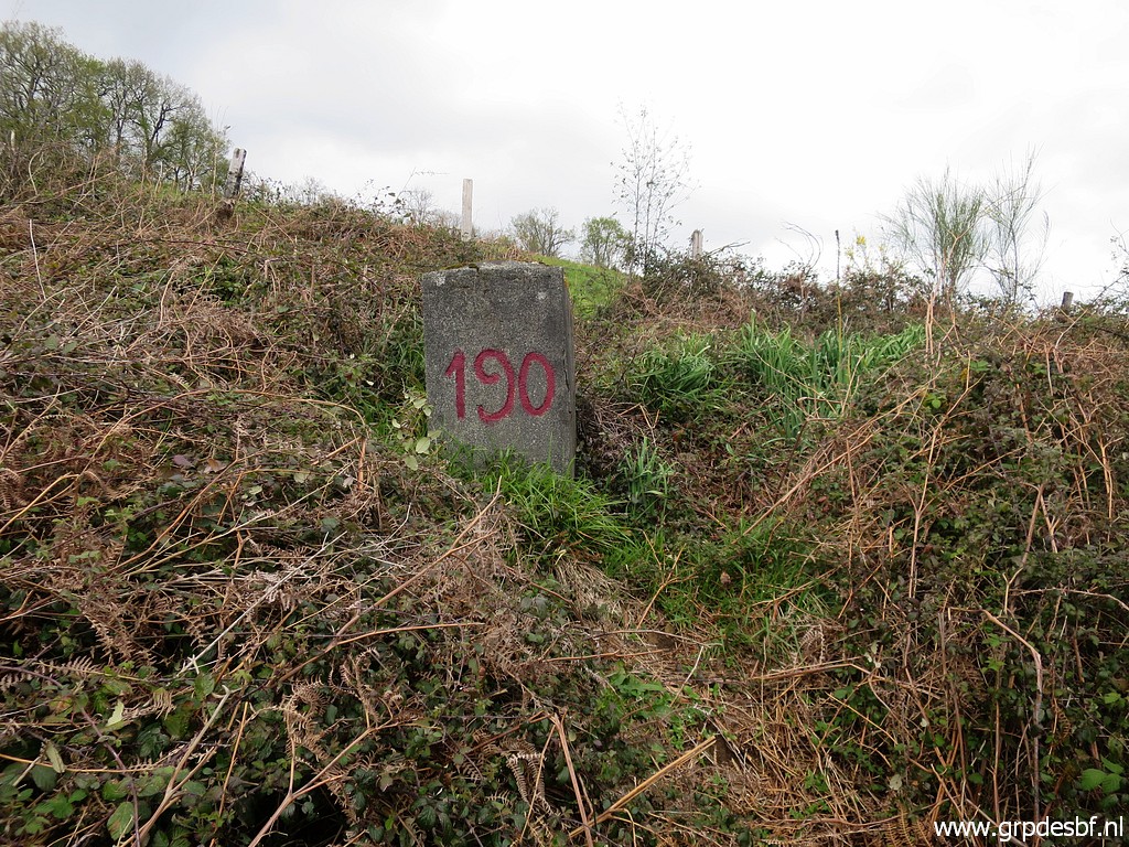
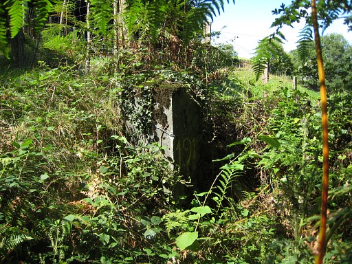
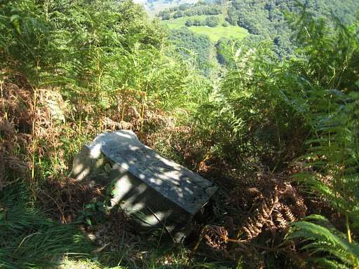
Bm190, allmost overgrown in the undergrowth Photographed on 20090527 (more pictures on that page) |
 |
Bm190 Photographed on 14 april 2022 (more pictures on that page) (click photo to enlarge) |
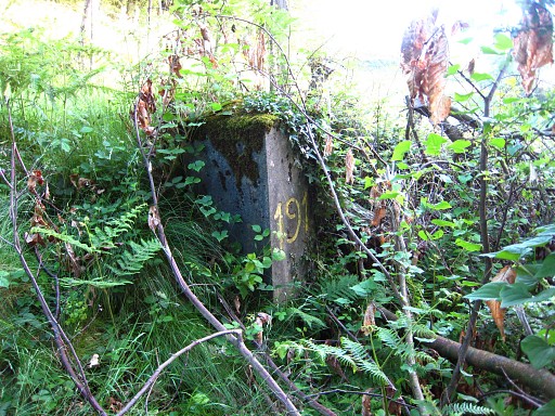 |
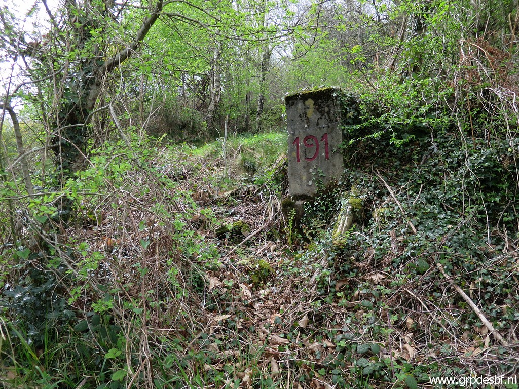
Bm191 Photographed on 20090528 (more pictures on that page) |
 |
Bm191 Photographed on 20110816 |
 |
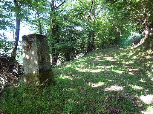
Bm191 Photographed on 15 april 2022 (more pictures on that page) (click photo to enlarge) |
 |
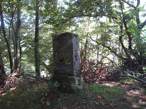
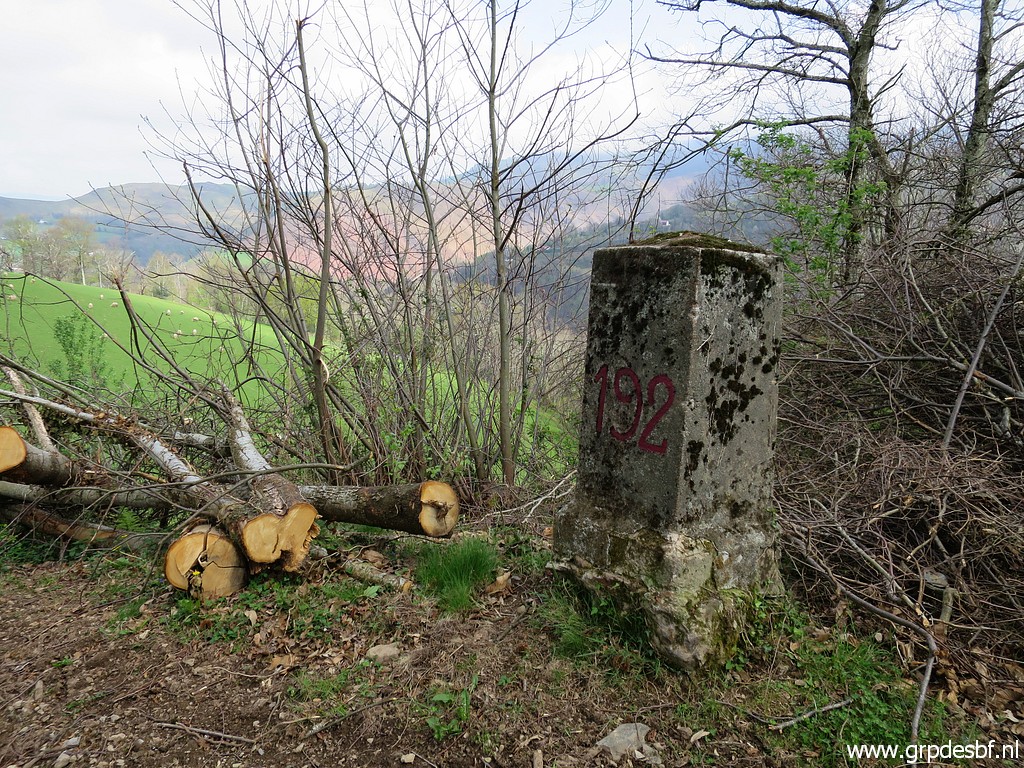
Bm192 Photographed on 20090528 |
 |
Bm192 Photographed on 20110816 (more pictures on that page) |
 |
Bm192 Photographed on 15 april 2022 (more pictures on that page) (click photo to enlarge) |
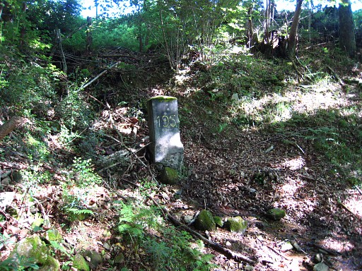 |
Bm193 Photographed on 20090528 |
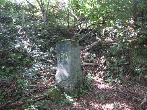 |
Bm193 Photographed on 20110816 (more pictures on that page) |
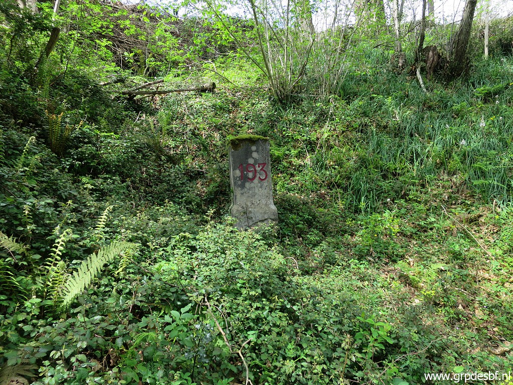 |
Bm193 Photographed on 15 april 2022 (more pictures on that page) (click photo to enlarge) |
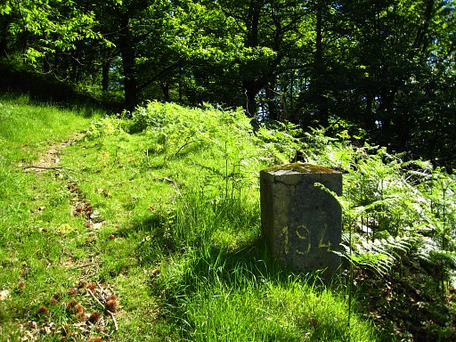 |
Bm194 Photographed on 20090528 (more pictures on that page) |
 |
Bm194 Photographed on 20110816 (more pictures on that page) |
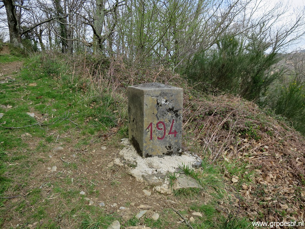 |
Bm194 Photographed on 15 april 2022 (more pictures on that page) (click photo to enlarge) |
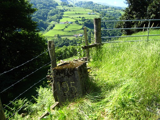 |
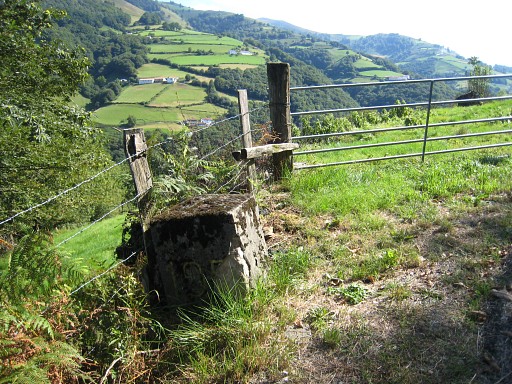
Bm195 Photographed on 20090528 (more pictures on that page) |
 |
Bm195 Photographed on 20110816 |
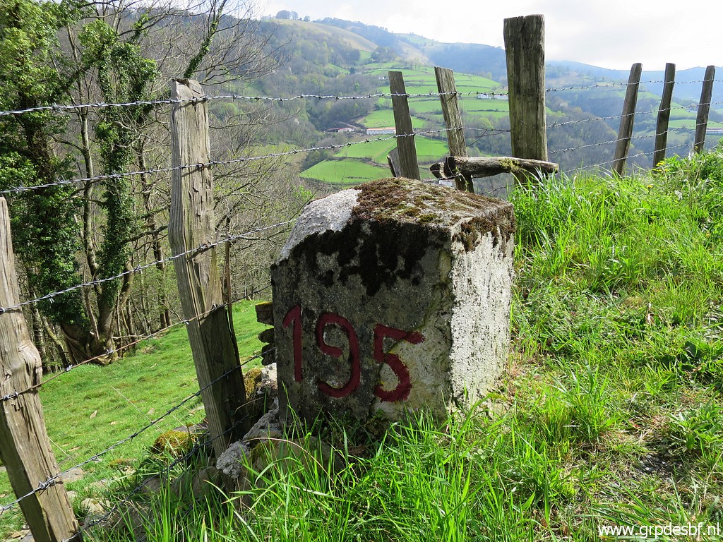 |
Bm195 Photographed on 15 april 2022 (more pictures on that page) (click photo to enlarge) |
 |
Bm196, not found yet Searched on 20090528 and 20100510 and 20110816 and 20120512 and 20120825 but FOUND on 20130531 See hereunder for the story of its discovery. |
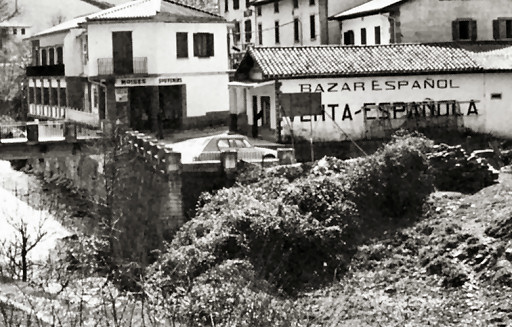 | In january 2011 I learned from Charles et Josette Darrieu that this bm
had almost been covered under the surface in 1976. It's place: besides the
venta-building and underneath the word ESPAÑOLA, at the foot of a small wall and next to an entrance gate to a meadow. Their source: "La frontière des Pyrénées", p134 - 5° by Jean SERMET. This picture is from this book. Sermet tells that this borderstone was larger than the other ones in this region en had a diamond-shaped top. |
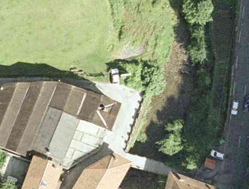 |
We can spot the former entrance gate to the meadow on this older 'orthophoto', captured from the Navarran cartographic site Sitna. In recent years (2008?) the meadow has been transformed in a parking lot for the enlarged venta-complex. |
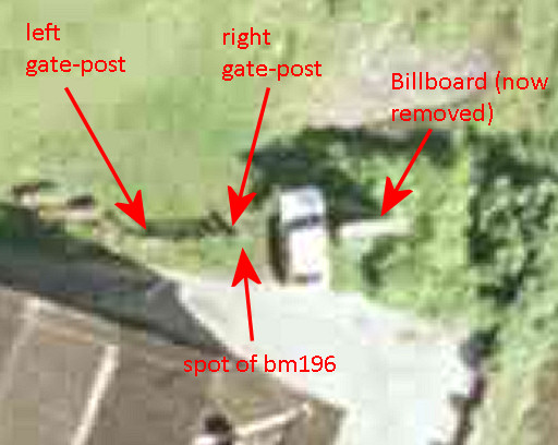 |
Javier Marténez Ruiz (see the bibliography-page) describes its position as "in front of Venta Berri, left of the entrance gate to the meadow". But on 25 august 2012, I will learn that its exact position was at the right side of the gate. The farmers of the former meadows showed me its position, buried since the seventies. |
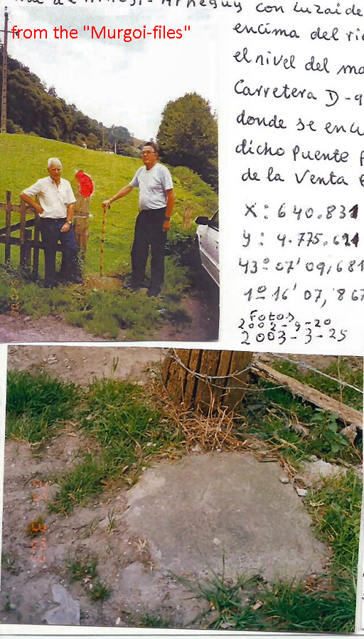 |
This unique picture shows
the original situation of bm196. This picture showed up three months
AFTER the final excavation in may 2013, as shown hereunder. Photographed in the years 2000-2003. Source: "The Murgoi-files" of Jesús Murueta Goikoetxea |
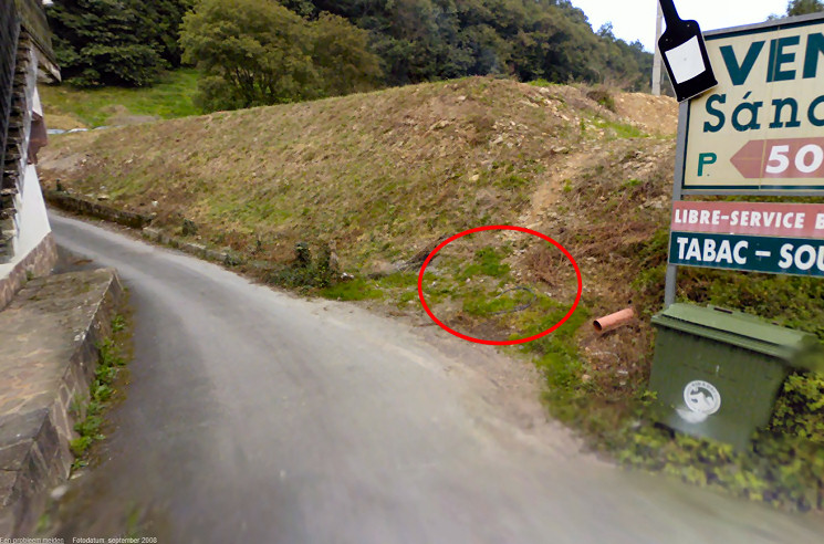 And we can show it on this Google Streetview-picture of september 2008. The parking-lot has been recently constructed as you can see. |
|
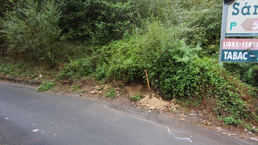 |
On 25 august 2012, I tried to excavate the bm but the ground was too dense/hard. But the spot was right, according to the farmers of the former meadow |
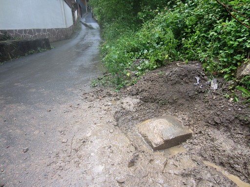 |
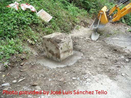
On 31 may 2013 (more pictures on that page) I returned with Jan-Willem Doomen for a last try. And we found it! I was 99% sure this block was indeed bm196 although digging further to uncover a number was too much for us. |
 |
Two days later (on 20130602) we returned to make some more pictures. |
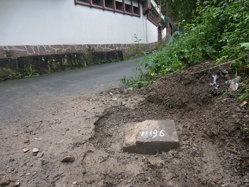
But
2 months later - on july 31th - I received pictures of Anne-Marie Bats and
Bernadette Chasseur. They have continued where Jan-Willem and I had to stop and
delivered the ultimate evidence: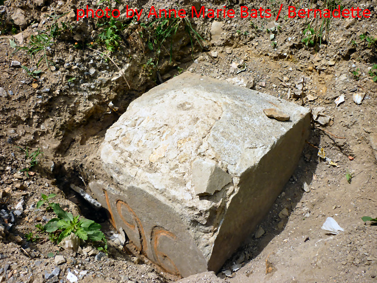 |
|
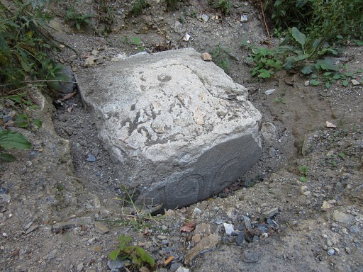 |
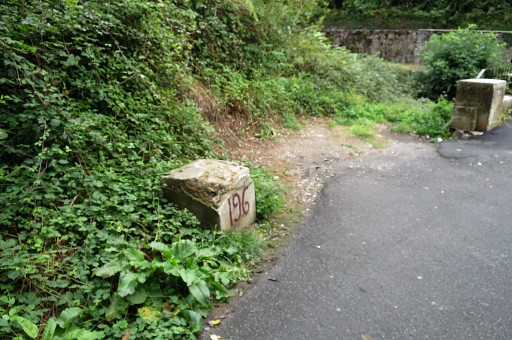
Bm196 Photographed on 20130903 (more pictures on that page) |
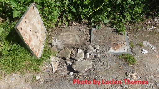 |
Bm196 But in may 2014 covered again. Photo by Lucien Thomas. Charles and Josette als found bm196 in this condition but interpreted the covers and the loose sand filling up the gap as a means of protection and to prevent car accidents. |
 |
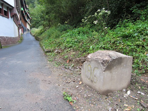
However – on 12 august
2014 – bm196 has been raised from it’s grave by the two delimitation
delegations of Navarre and the Pyrénées Atlantiques The bm has been lifted half-way to appear again for
every passer-by and to honour it’s significance as a cultural- These two delimitation delegations have been a successful couple on more
bm-restauration tasks. |
 |
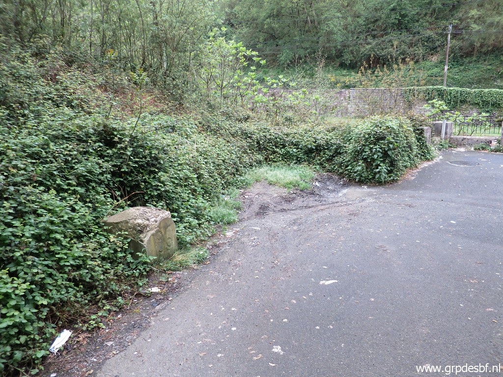
Bm196 Photographed on 20140831 (more pictures on that page) |
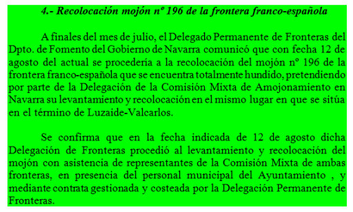 |
And this text comes from the proceedings of the village-council of Luzaide-Valcarlos, sent to me by Oskar Gerenu. |
 |
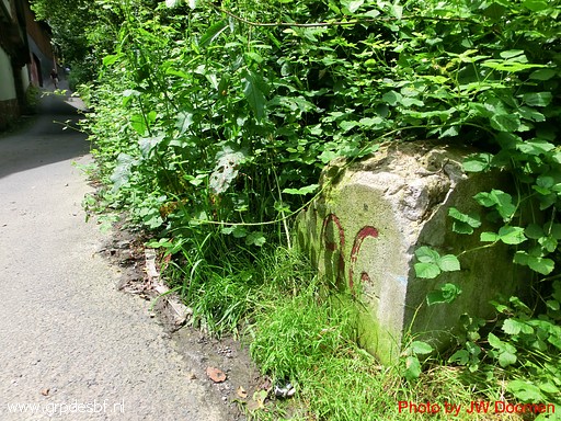
Bm196 Photographed on 20160918 (more pictures on that page) |
 |
Bm196 Photographed on 20180602 (more pictures on that page) |
 |
Bm196 Photographed on 16 april 2022 (more pictures on that page) (click photo to enlarge) |